Services
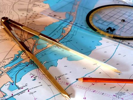
Nautical Charts
We offer a wide selection of up-to-date and official nautical charts, essential for safe navigation anywhere in the world. These charts are crucial for route planning, depth analysis, identifying hazards, and locating buoys and lighthouses. We provide printed charts for various geographical areas, recommended for both commercial and recreational vessels.
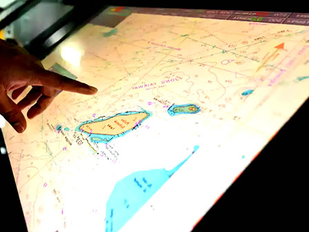
Electronic Charts
Electronic charts are a modern and precise tool for digital navigation. Compatible with major navigation systems, they allow real-time and interactive visualization of maritime routes, improving decision-making during voyages. We offer official licenses for ENCs and RNCs, along with specialized technical support for installation and updates.